
Szczepan Gądek
Real Estate · Construction & Inspections · Agriculture · Mapping & Orthophoto · Energy & Solar · Aerial Photography · Poznań +100 km · Bydgoszcz +100 km · Gdańsk +110 km
Verified qualifications
Confirmed in the official PANSA registry.
- A1until 09/2031
- A3until 09/2031
- A2until 09/2031
- STS-01until 09/2031
- STS-02until 09/2031
- STSuntil 09/2031
Liability insurance
The pilot declares they hold the mandatory operator liability insurance, valid until November 17, 2026.
This is the pilot's own declaration - LetsFly does not verify it. You can ask to see the policy before hiring.

About
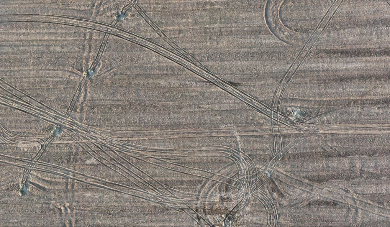
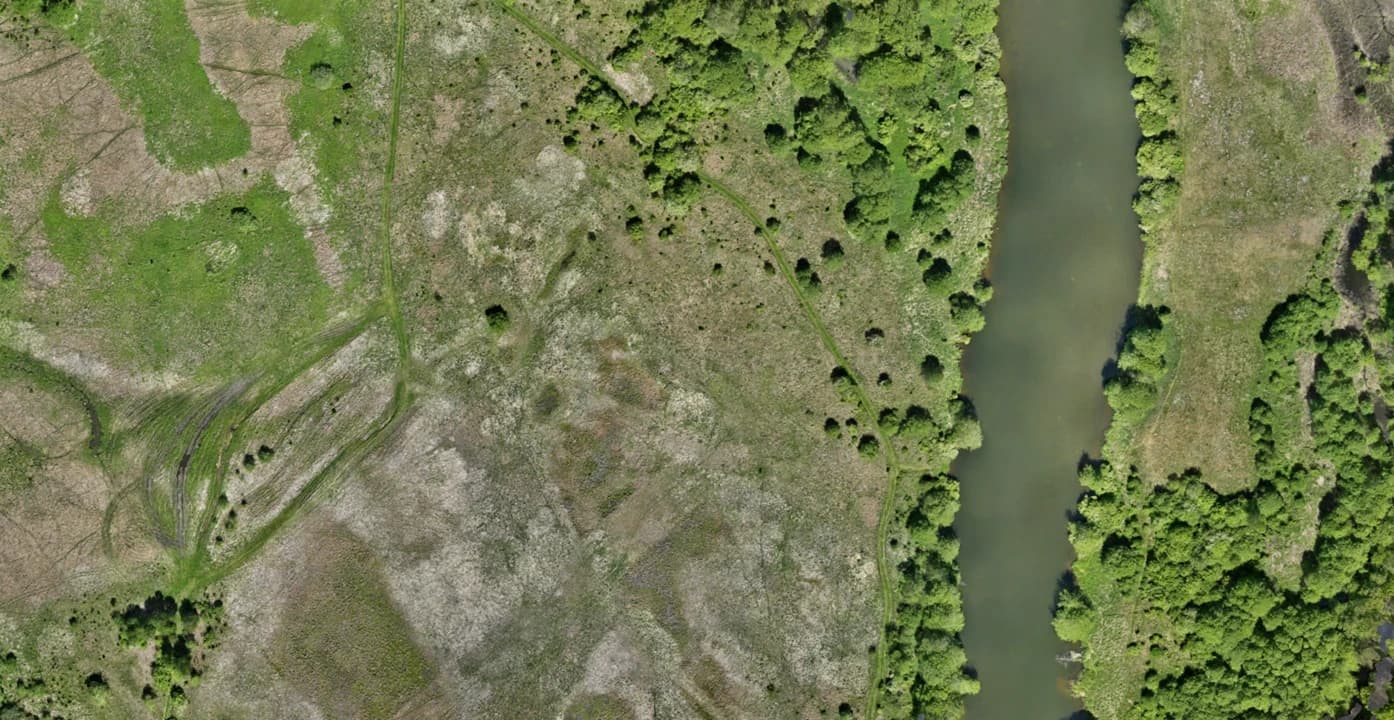
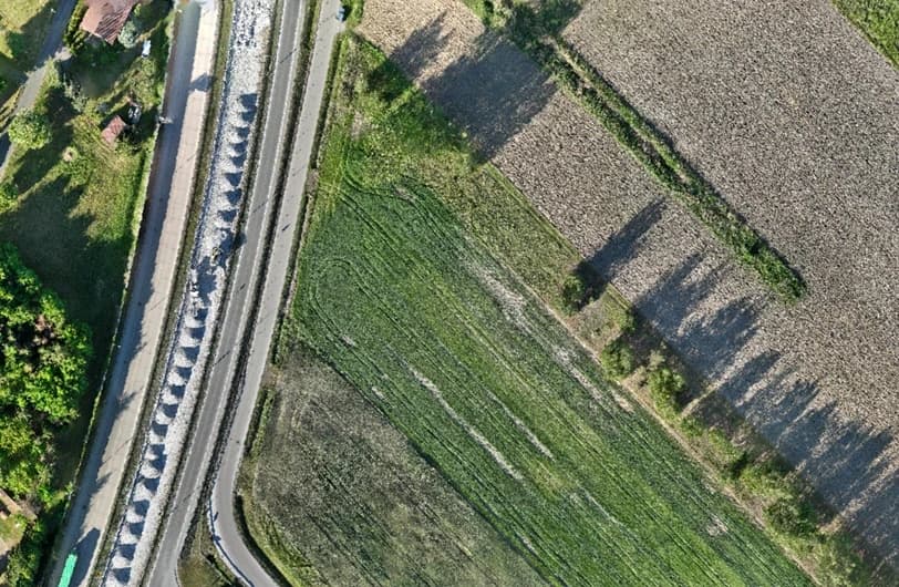
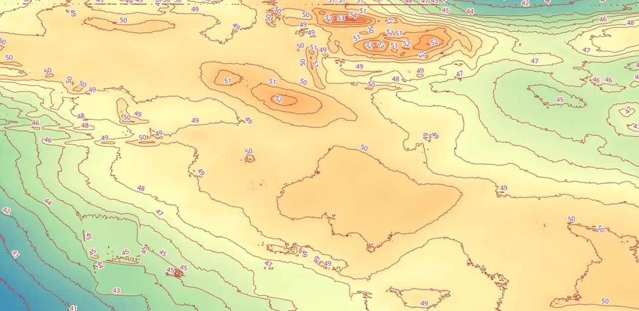
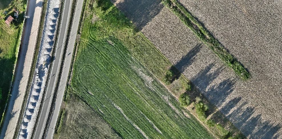
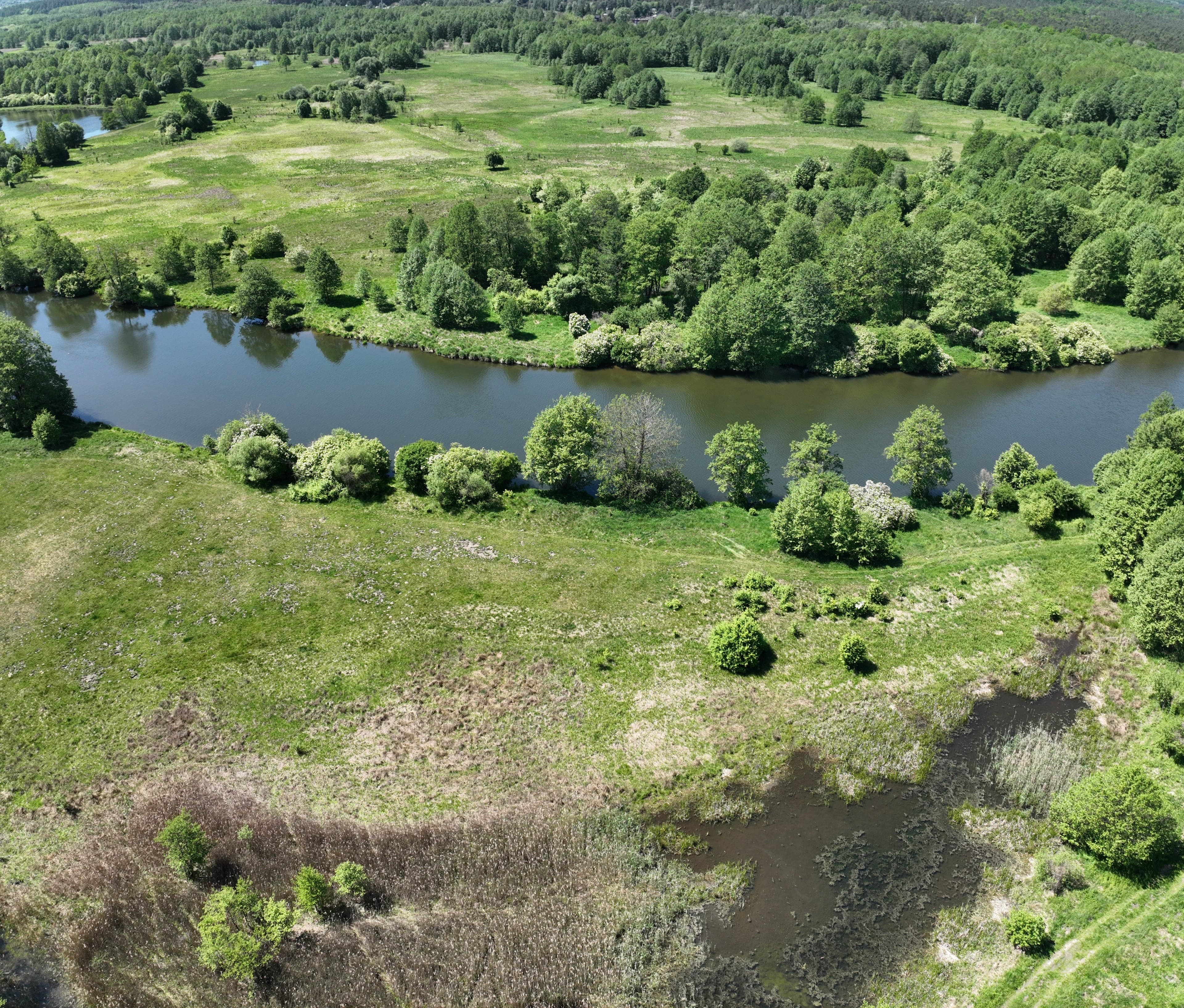
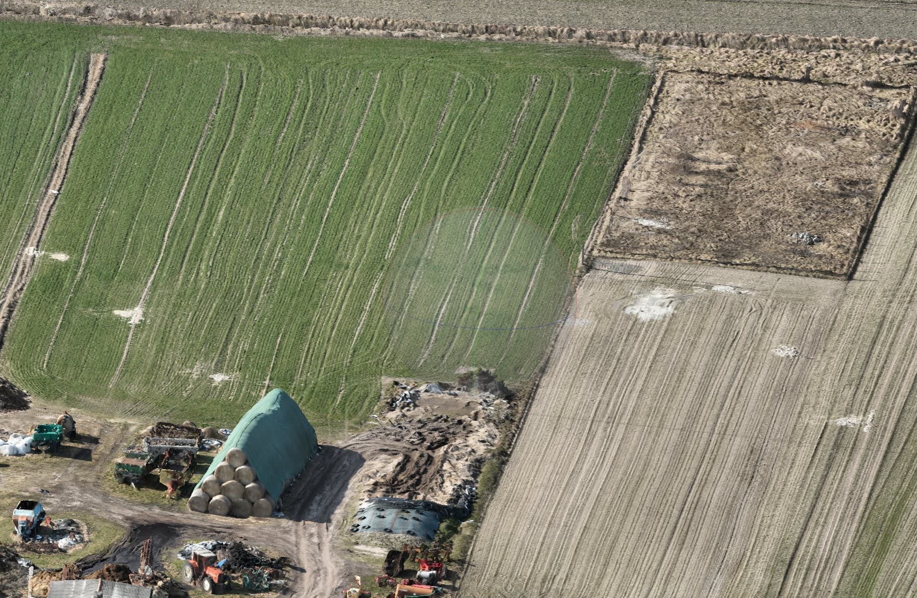
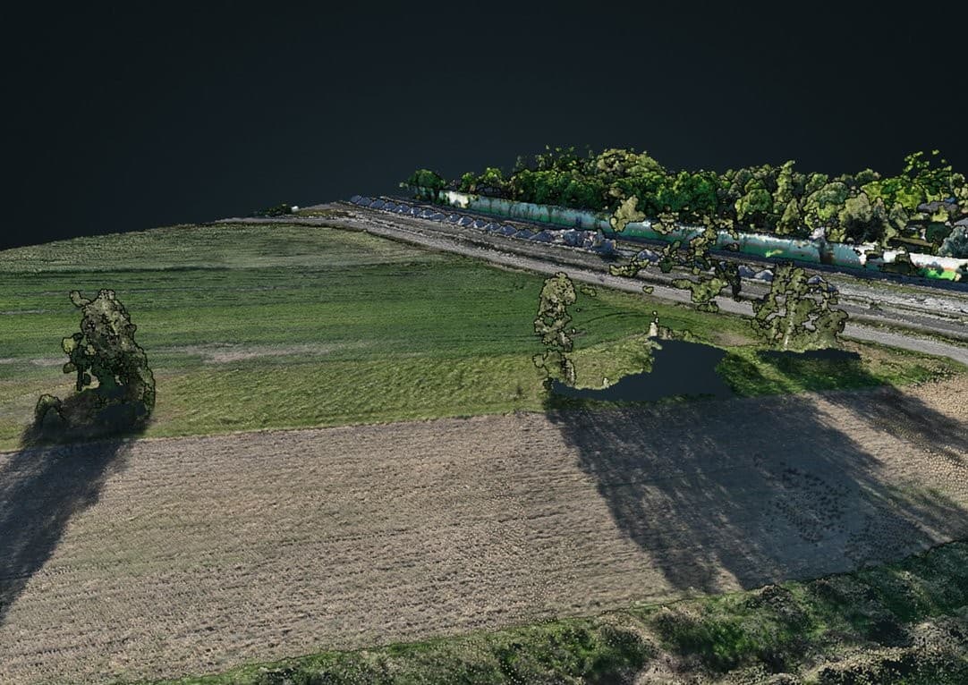
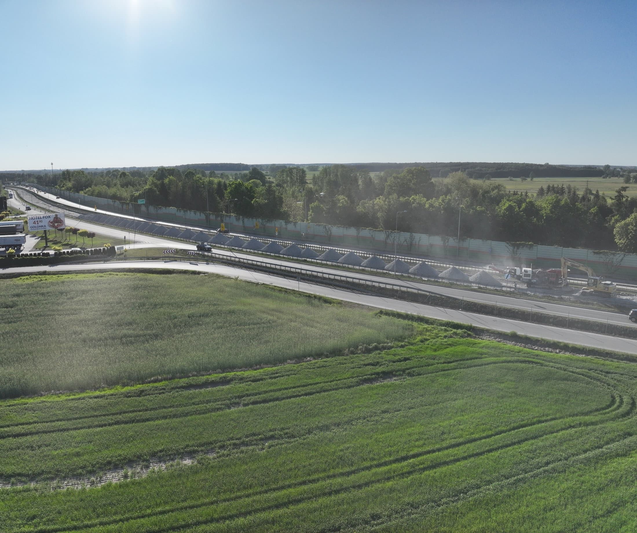
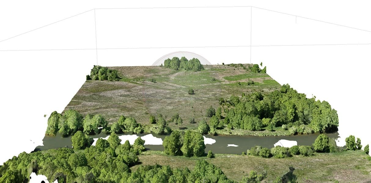
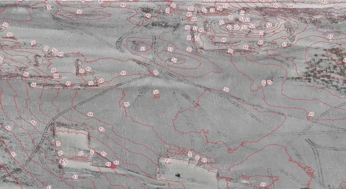
Wykonuję naloty fotogrametryczne z precyzją RTK (DJI Mavic 3 Enterprise, Matrice 4 Enterprise): ortofotomapy, modele 3D i NMT, objętości hałd i mas ziemnych, dokumentacja szkód rolniczych i łowieckich, inspekcje budynków, mostów i kominów. Wykształcenie geodezyjne i górnicze (technikum geodezyjne, AGH). Działam w Wielkopolsce, na Pomorzu i w Kujawsko-Pomorskiem. Nie wykonuję prac wymagających uprawnień geodezyjnych. Wycena nalotu na zapytanie.
Equipment
- DJI Mavic 3 Enterprise
- DJI Matrice 4 Enterprise
Coverage area
Poznań +100 km · Bydgoszcz +100 km · Gdańsk +110 km