
Drone mapping & orthophotos
These drone pilots offer this service across Poland. Browse their drone photos and videos, compare portfolios and send an inquiry straight from a profile.
No commission - you agree the job and the price with the pilot directly.
See these pilots on the mapDrone mapping & orthophotos in numbers
- Pilots in the directory
- 32
- Verified credentials
- 8
- Photos in portfolios
- 181
- Videos in portfolios
- 22
The LetsFly directory has 32 pilots offering this service, across Poland. 8 of these profiles carry the Verified badge - a confirmed entry in the official operator register.
13 of them work across the whole of Poland; the rest travel within the radius they declare - their range is on the map on their profile.
Drone mapping & orthophotos in Poland - pilots with portfolios
 All of Poland
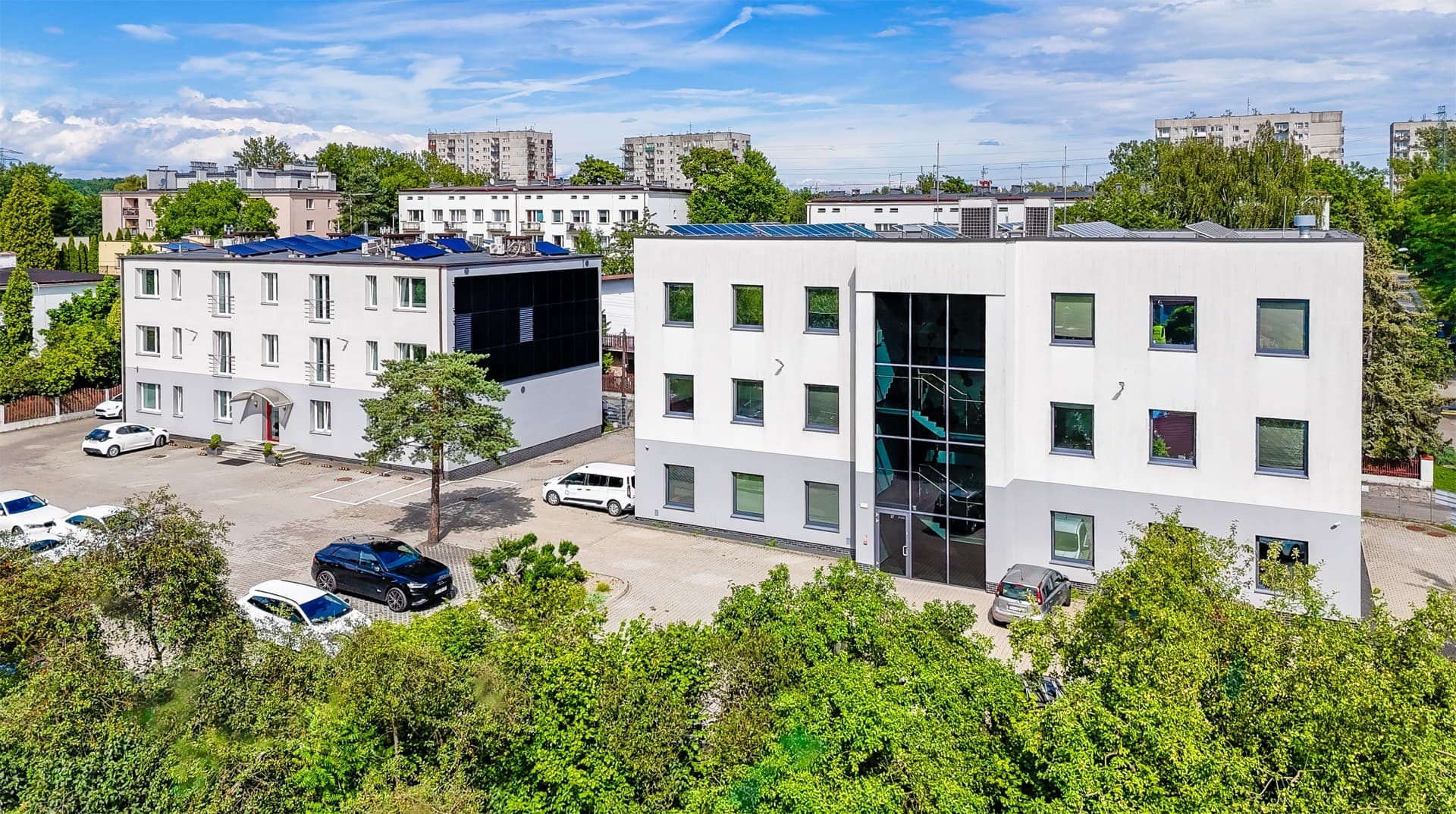
PANORAMO .PL
Real Estate · Weddings · Events · Construction & Inspections · Film & Advertising · Tourism · Sport · Mapping & Orthophoto · Aerial Photography · FPV Filming · Other
 All of Poland
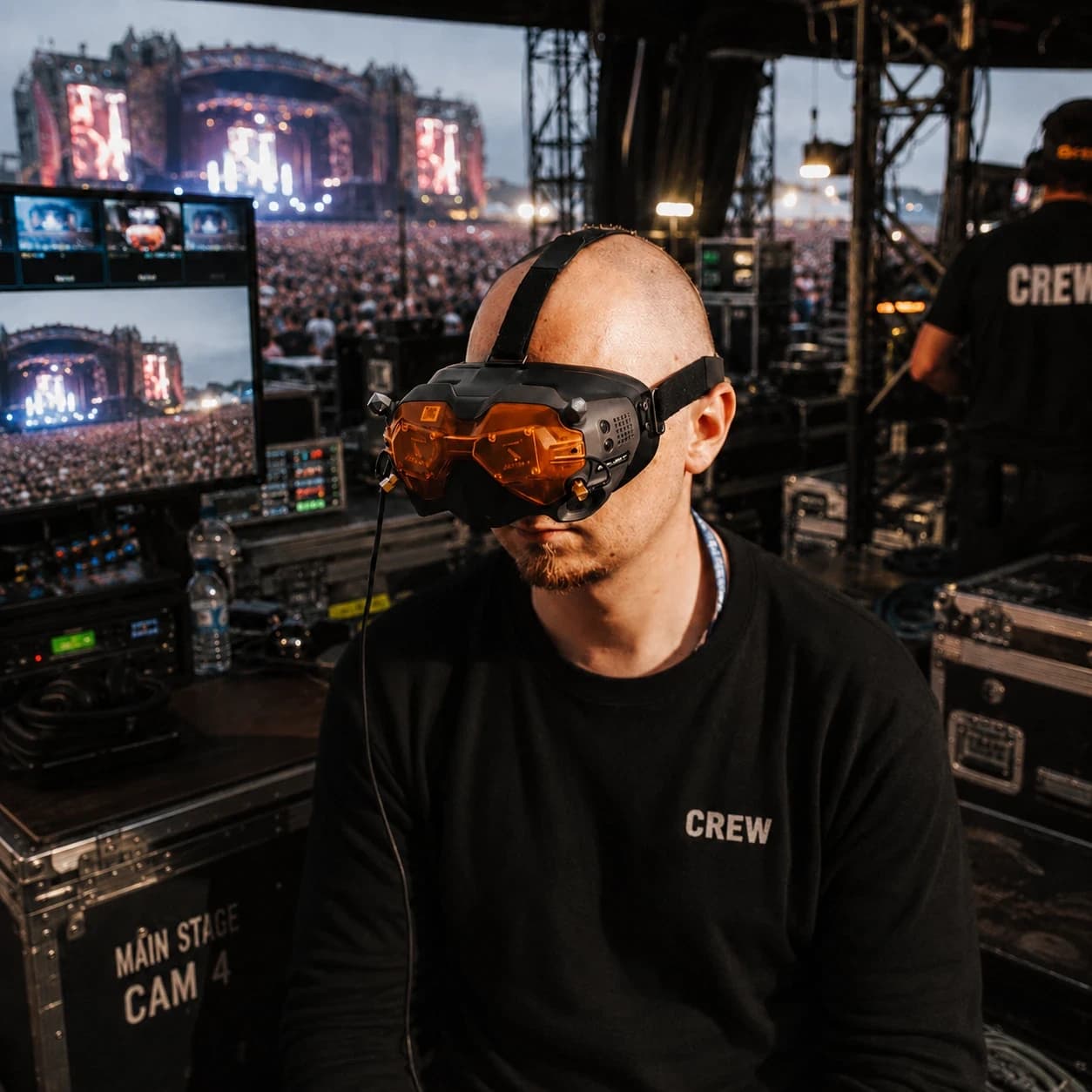
Maciej Gądek
Real Estate · Weddings · Events · Film & Advertising · Tourism · Nature & Landscape · Sport · Mapping & Orthophoto · Aerial Photography · FPV Filming · Other
 All of Poland
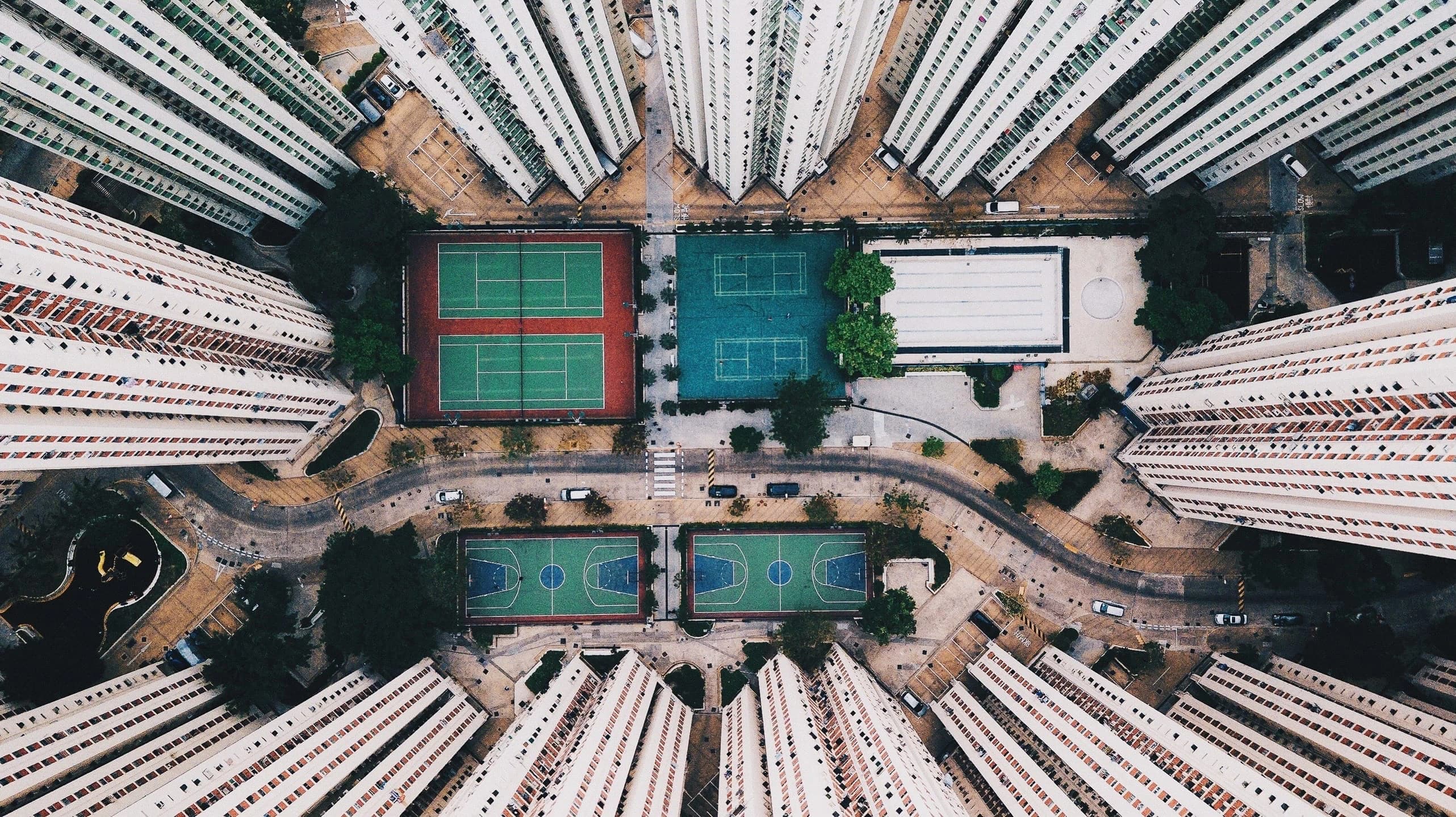
Michał Wencek
Real Estate · Weddings · Events · Construction & Inspections · Film & Advertising · Tourism · Nature & Landscape · Sport · Mapping & Orthophoto · Energy & Solar · Aerial Photography · FPV Filming · Other
 All of Poland
Tomasz Krzyśko
Real Estate · Weddings · Events · Construction & Inspections · Agriculture · Film & Advertising · Tourism · Nature & Landscape · Sport · Mapping & Orthophoto · Energy & Solar · Aerial Photography · Other
Artur Kozłowski
Real Estate · Events · Construction & Inspections · Agriculture · Film & Advertising · Tourism · Nature & Landscape · Sport · Mapping & Orthophoto · Aerial Photography
Robert Szwengiel
Real Estate · Events · Film & Advertising · Tourism · Nature & Landscape · Mapping & Orthophoto · Aerial Photography · Other
Jarosław Mielewski
Real Estate · Construction & Inspections · Agriculture · Film & Advertising · Tourism · Nature & Landscape · Mapping & Orthophoto · Energy & Solar · Aerial Photography · Other
Witold Hejnowicz
Real Estate · Events · Construction & Inspections · Film & Advertising · Tourism · Nature & Landscape · Mapping & Orthophoto · Energy & Solar · Aerial Photography · FPV Filming · Other
Paweł Lipski
Real Estate · Construction & Inspections · Nature & Landscape · Mapping & Orthophoto · Aerial Photography · Other
Gustaw Cyburt
Real Estate · Construction & Inspections · Agriculture · Mapping & Orthophoto · Energy & Solar · Aerial Photography · Other
Sebastian Borowski
Real Estate · Events · Construction & Inspections · Film & Advertising · Tourism · Nature & Landscape · Sport · Mapping & Orthophoto · Energy & Solar · Other
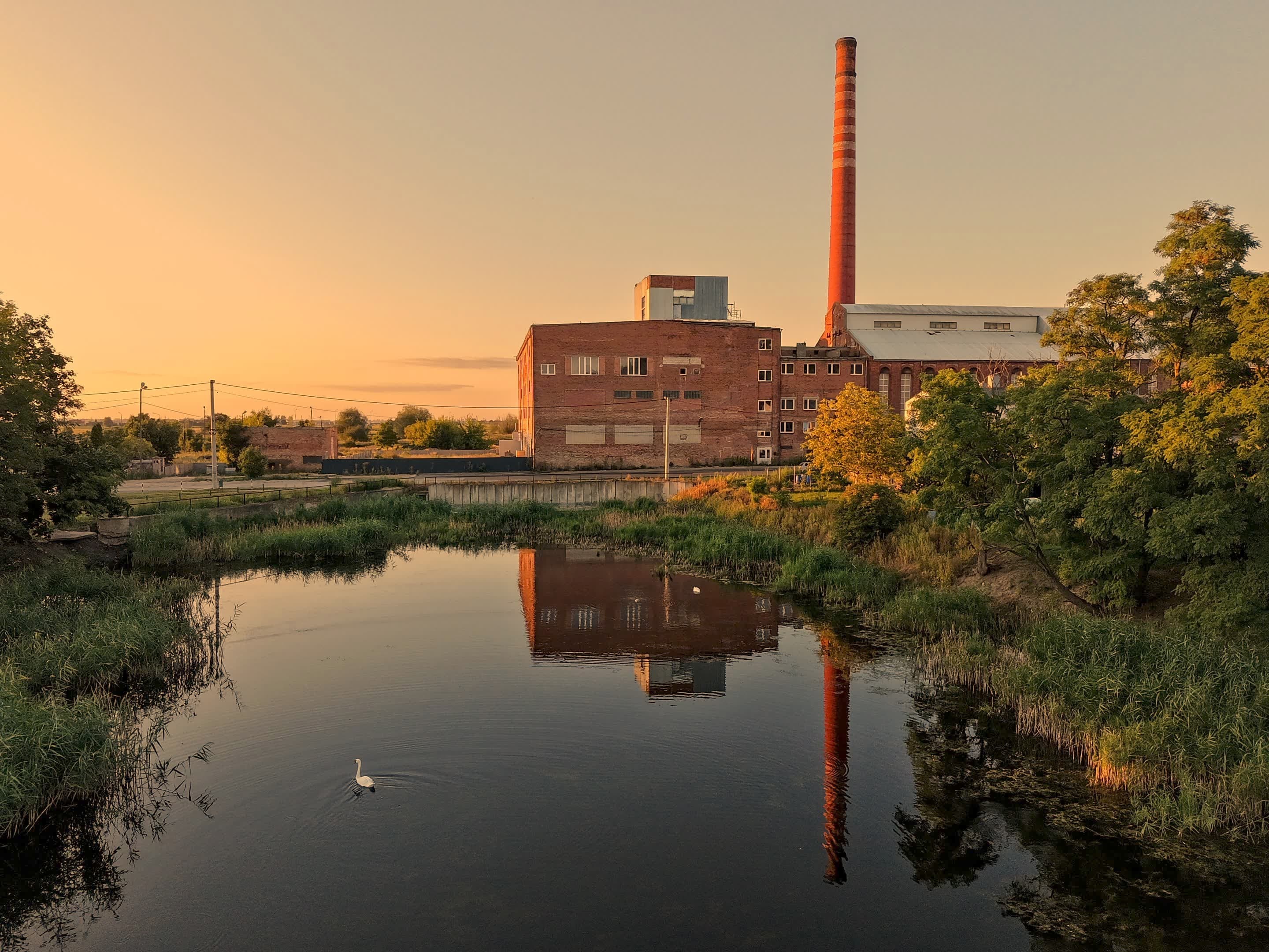
Michał Szutkowski
Real Estate · Events · Agriculture · Film & Advertising · Tourism · Nature & Landscape · Mapping & Orthophoto · Aerial Photography · FPV Filming · Other
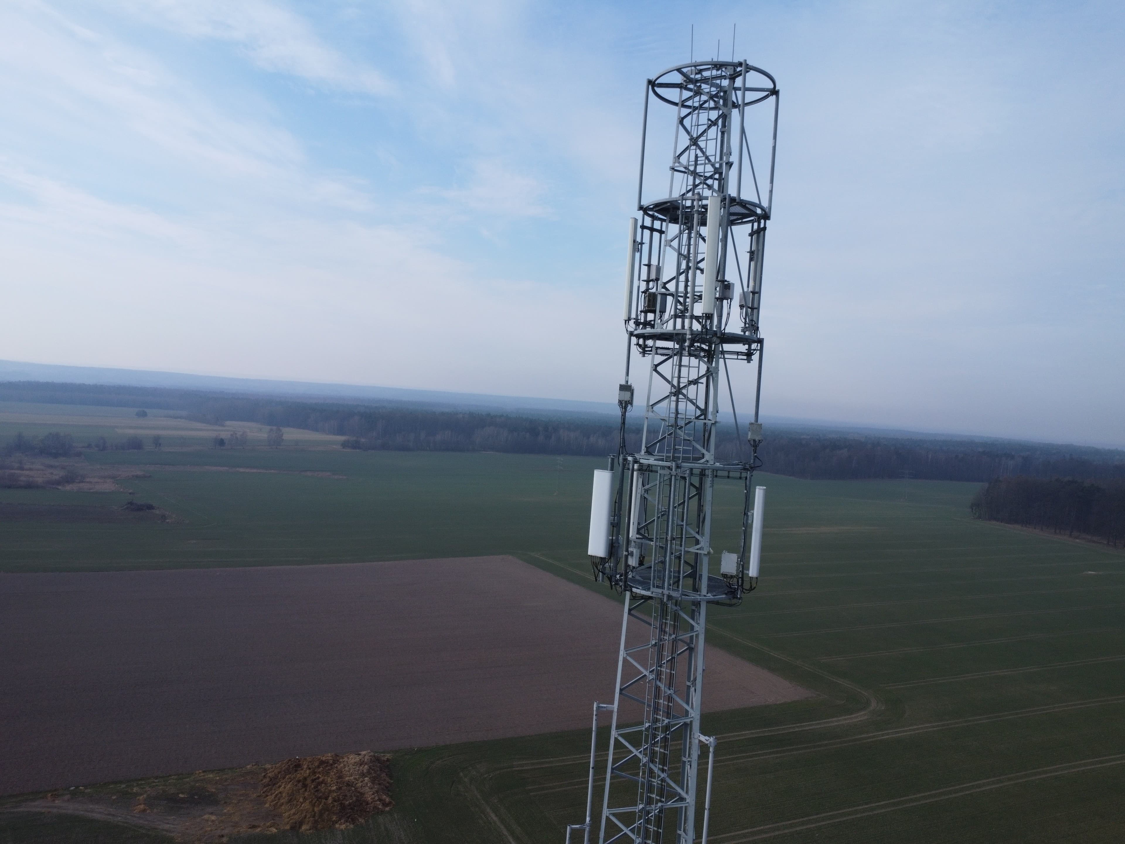
Piotr Stolarski
Real Estate · Construction & Inspections · Agriculture · Mapping & Orthophoto · Energy & Solar
 All of Poland
G Drone
Real Estate · Weddings · Events · Construction & Inspections · Agriculture · Film & Advertising · Tourism · Nature & Landscape · Sport · Mapping & Orthophoto
Katarzyna Wilk
Real Estate · Construction & Inspections · Agriculture · Film & Advertising · Tourism · Nature & Landscape · Sport · Mapping & Orthophoto · Other
 All of Poland
Dawid Łysak
Real Estate · Weddings · Events · Construction & Inspections · Agriculture · Film & Advertising · Tourism · Nature & Landscape · Sport · Mapping & Orthophoto
 All of Poland
Janusz Gerszberg
Real Estate · Construction & Inspections · Tourism · Nature & Landscape · Mapping & Orthophoto · Other
Łukasz Kopciuch
Construction & Inspections · Mapping & Orthophoto
Andrzej Podbielski
Real Estate · Weddings · Events · Construction & Inspections · Agriculture · Film & Advertising · Tourism · Nature & Landscape · Sport · Mapping & Orthophoto
 All of Poland
Flynox.Vision Poznan
Real Estate · Weddings · Events · Construction & Inspections · Agriculture · Film & Advertising · Tourism · Nature & Landscape · Sport · Mapping & Orthophoto · Energy & Solar · FPV Filming
Krzysztof Jucewicz
Real Estate · Construction & Inspections · Mapping & Orthophoto · Energy & Solar · Other

Paweł Wojaczek
Real Estate · Construction & Inspections · Film & Advertising · Mapping & Orthophoto · Energy & Solar · Aerial Photography
Szymon Nyczak
Real Estate · Construction & Inspections · Nature & Landscape · Mapping & Orthophoto · Energy & Solar · Aerial Photography
Mateusz Mirończuk
Real Estate · Construction & Inspections · Nature & Landscape · Mapping & Orthophoto · Energy & Solar · Aerial Photography

Tomasz Wanat
Real Estate · Weddings · Events · Construction & Inspections · Agriculture · Film & Advertising · Tourism · Nature & Landscape · Sport · Mapping & Orthophoto · Energy & Solar · Aerial Photography · Other
 All of Poland
Mariusz Wilamowski
Real Estate · Construction & Inspections · Agriculture · Mapping & Orthophoto · Energy & Solar
Michał Piecychna
Real Estate · Agriculture · Mapping & Orthophoto · Aerial Photography
 All of Poland
Karol Chodyna
Real Estate · Weddings · Events · Construction & Inspections · Film & Advertising · Tourism · Nature & Landscape · Sport · Mapping & Orthophoto · Energy & Solar · Aerial Photography · FPV Filming · Other

Michał Lukoszek
Real Estate · Construction & Inspections · Mapping & Orthophoto · Energy & Solar · Other
Seweryn Rogut
Real Estate · Construction & Inspections · Film & Advertising · Nature & Landscape · Mapping & Orthophoto · Aerial Photography · Other
 All of Poland
Paweł Niedźwiecki
Real Estate · Construction & Inspections · Tourism · Nature & Landscape · Mapping & Orthophoto · Energy & Solar · Aerial Photography

Marcin Kowalkowski
Real Estate · Construction & Inspections · Agriculture · Film & Advertising · Nature & Landscape · Mapping & Orthophoto · Energy & Solar · Aerial Photography · Other
Popular cities
What people order aerial material for
Aerial photos and video get commissioned when the scale or the layout of a place simply is not visible from the ground. The most common uses:
- Selling and letting property: a shot from above shows the plot, the neighbourhood and the access better than a site plan.
- Company marketing material: a plant, a warehouse or a development in a single frame, with no stitching together of ground-level shots.
- Construction records: repeatable shots from the same point show progress and often settle billing questions.
- Events: competitions, rallies, concerts and outdoor events, where scale and turnout are the point.
- Tourism and local promotion: landmarks, trails and landscape for promotional material.
- Inspections: a roof, a chimney, a solar array or a mast - with no scaffolding and nobody working at height.
How a booking works
From first contact to finished material usually takes a few days to two weeks. Here is the typical sequence - you agree the details directly with the pilot, because LetsFly brokers neither the work nor the payment.
Enquiry and quote
You describe what needs to be filmed or photographed, where and when. The more specific you are about location, date and what the material is for, the faster you get a firm quote. Enquiries through LetsFly are free and go straight to the pilot.
Airspace check and paperwork
The pilot checks whether the site sits in a zone requiring notification or clearance and files the flight if needed. Private or closed sites may also need the owner's permission, and larger events need clearing with the organiser.
Shoot day
Flights are planned around weather and light: strong wind, rain and fog rule out taking off, and the best shots come early in the morning or before sunset. A typical session runs from an hour to a full shoot day.
Post-production and delivery
After the flight the pilot selects and grades the material and delivers the files, usually via cloud storage. The deadline is agreed in the quote - typically a few days to two weeks, depending on how much post-production is involved.
What you get
Always confirm the exact scope in the quote. These bookings usually include:
- Finished files at full resolution - 4K for video in most cases.
- Colour-corrected stills as JPG, and RAW files on request.
- Cut-downs for social media if the material is headed for Instagram or YouTube.
- Raw footage, if you plan to edit it yourself.
- An agreed scope of usage rights - worth putting in writing, especially for advertising.
What drives the price
LetsFly sets no prices and takes no commission - the pilot quotes in reply to your enquiry. What the quote mostly depends on:
- Time on site: a short session over a single building is different work from a full day of shooting.
- Travel: a local pilot will usually quote lower than one driving 150 km.
- Post-production: raw footage costs differently from an edited piece with colour grading and sound.
- Paperwork: flying in controlled airspace or over a closed site needs clearances and lengthens preparation.
- Equipment: a drone with a better sensor, an FPV camera or a second operator all add cost.
- Timing: a booking tied to one specific date, especially in season, costs more than a flexible one.
Orthophoto maps and photogrammetry - what they are
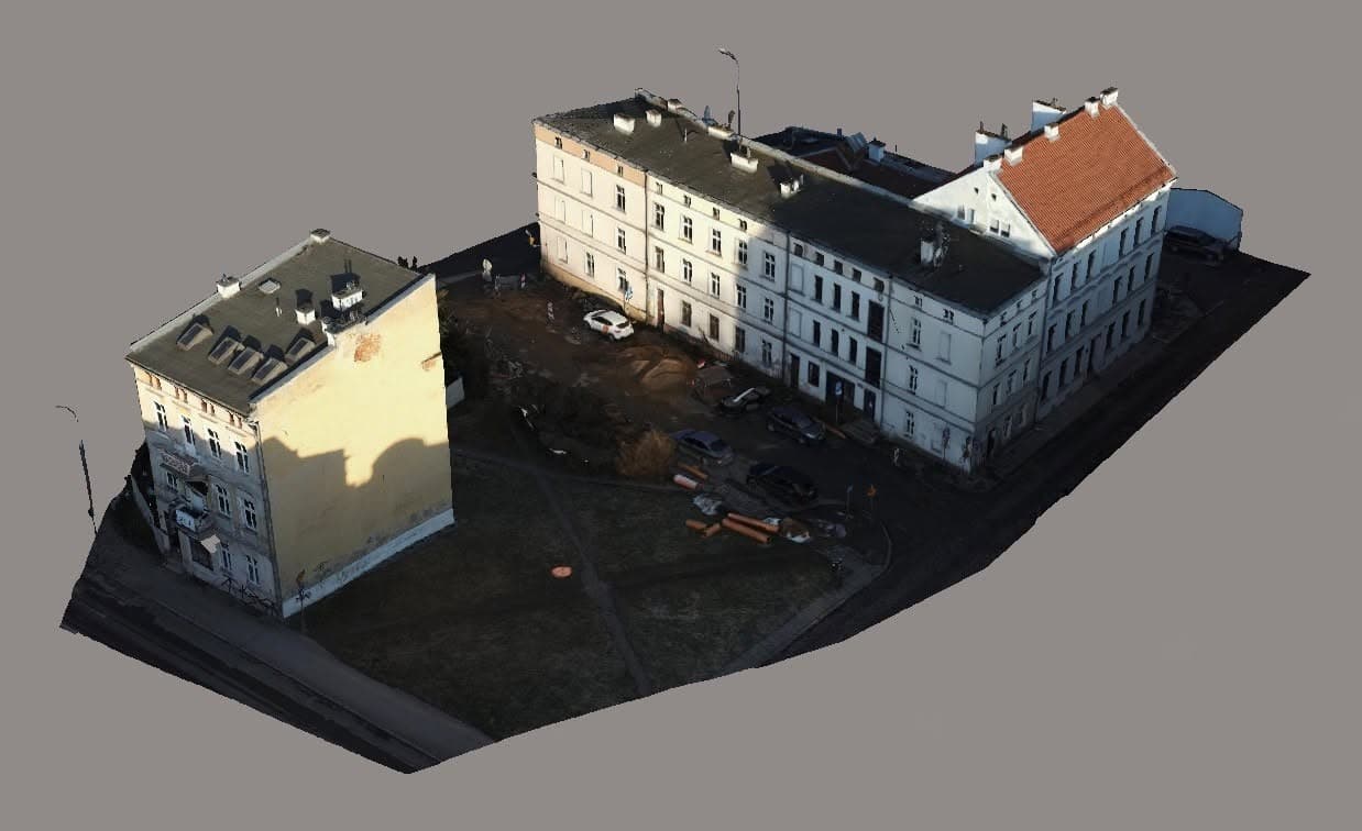
An orthophoto map is an aerial image of the ground processed so that its scale is constant across the whole surface - you can measure distances and areas on it as you would on a map. It is built by stitching hundreds of drone photos flown in a regular grid over the site. Photogrammetry is the method behind it: from images of the same point taken at different angles, software reconstructs the terrain geometry, and with it a 3D model and an elevation map.
Rules, credentials and flight safety
Commercial drone flights in Poland are regulated, and it is the operator - not the client - who is responsible for flying legally. It still helps to know what to ask about before you book.
- Registration and competencies: a commercial operator has to be registered, and the pilot needs competencies matching the category of the flight - usually A1/A3, or A2 or STS training for flights closer to people and buildings.
- Zones: a large part of the country, including areas near airports and city centres, sits in zones that require notification or clearance. Filing the flight is the pilot's job, but it affects scheduling - so plan a few days ahead.
- The Verified badge: we grant it automatically from the official operator register and revoke it when credentials lapse. It evidences a register entry - it is not proof of liability insurance, and not proof of the account holder's identity.
- Insurance: ask the pilot directly about liability cover. On closed sites, construction work or shoots near people, clients often require it.
- Privacy: drone footage usually captures neighbouring properties and passers-by as well. Agree on framing and on how the material may be used before the flight, not after it.
Frequently asked questions - Drone mapping & orthophotos in Poland
- How many drone pilots are in the directory?
- 32 - that is how many pilots offer this service. 8 of them carry the Verified badge - a confirmed entry in the official operator register. The list is generated from the profiles and changes as they do.
- How much do drone mapping & orthophotos cost?
- LetsFly sets no prices and takes no commission, so there is no price list here - the pilot quotes in reply to your enquiry. The quote depends on time on site, travel, how much post-production is involved, and the paperwork the specific location requires. Sending an enquiry from a profile is free and goes straight to the pilot, not to a middleman.
- How do I find a pilot near me?
- Drop a pin on the map in the pilot directory - we show the pilots whose working area covers that spot, sorted by distance from their nearest working location. You can also open your town's page from the list below. Every pilot declares how far they travel, so the list differs for every point in Poland.
- Do I need permission for a drone to fly over my property?
- As the owner you can commission flights over your own property, but it is the drone operator who is responsible for flying legally. If the site sits in a zone requiring notification, the pilot handles it. Flying over neighbouring land, over people and over built-up areas carries extra restrictions.
- How long does a booking take?
- The flight itself usually takes anywhere from under an hour to a few hours. Finished material typically arrives within a few days to two weeks, depending on the amount of post-production and how urgent the deadline is.
- What happens if the weather stops the flight?
- Strong wind, rain, fog and icing rule out taking off - that is a safety limit, not a preference. A backup date is normally agreed up front, and it is worth confirming the cancellation terms before booking.
- Does sending an enquiry through LetsFly cost anything?
- No. Enquiries are free and LetsFly takes no commission on the work - you settle up directly with the pilot.
- How does an orthophoto map differ from an ordinary drone photo?
- An ordinary photo has perspective - objects near the edge of the frame are distorted and distances on it do not match reality. An orthophoto map is processed so the scale is identical everywhere, which is what makes it measurable and possible to overlay on maps and plans.
- What are orthophoto maps used for?
- Most often for site surveys and area measurement, documenting construction progress, planning developments, calculating earthwork volumes from an elevation model, and for analysis in agriculture and forestry.
- How much does a drone orthophoto map cost?
- The price depends mainly on the area, the accuracy required, and whether ground control and delivery in a specific coordinate system are needed. LetsFly does not set prices - pilots publish indicative rates on their own profiles, and you receive a quote in reply to your inquiry.
- Are licences required to produce an orthophoto map?
- Commercial drone flights in Poland require operator registration and the appropriate pilot competencies. Profiles with the Verified badge have an entry confirmed in the official PANSA register. If the deliverable needs to be a surveying document, ask the contractor directly about the scope of their qualifications.